Explore the historic district and heritage trails that surround the thundering waterfall that powered the fledgling city of Minneapolis.
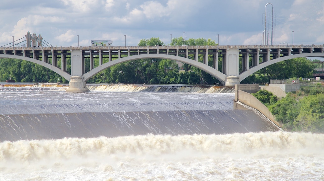
St. Anthony Falls marks the birthplace of Minneapolis and its natural power helped to shape the city into the exciting capital it is today. As the Upper Mississippi River’s only natural major waterfall, St. Anthony Falls provided the early settlement with economic influence as a hub for milling operations. Explore the St. Anthony Falls Historic District to learn about the city’s past. History will unfold before you as you stroll along the self-guided walking trail that loops around the spectacular waterfall.
A good place to begin is at the visitor center that anchors the historic district. Check out the exhibits and peruse the trail map. Find out about Father Hennepin, who named the falls in 1680, and the settlers who flocked to the falls between the 1700s and 1800s to see its beauty. One by one, lumber and flour mills began to pop up around the waterfall and two settlements, Minneapolis and St. Anthony Falls, were founded. Between 1880 and 1930, Minneapolis was known as one of the world’s key flour-milling hubs.
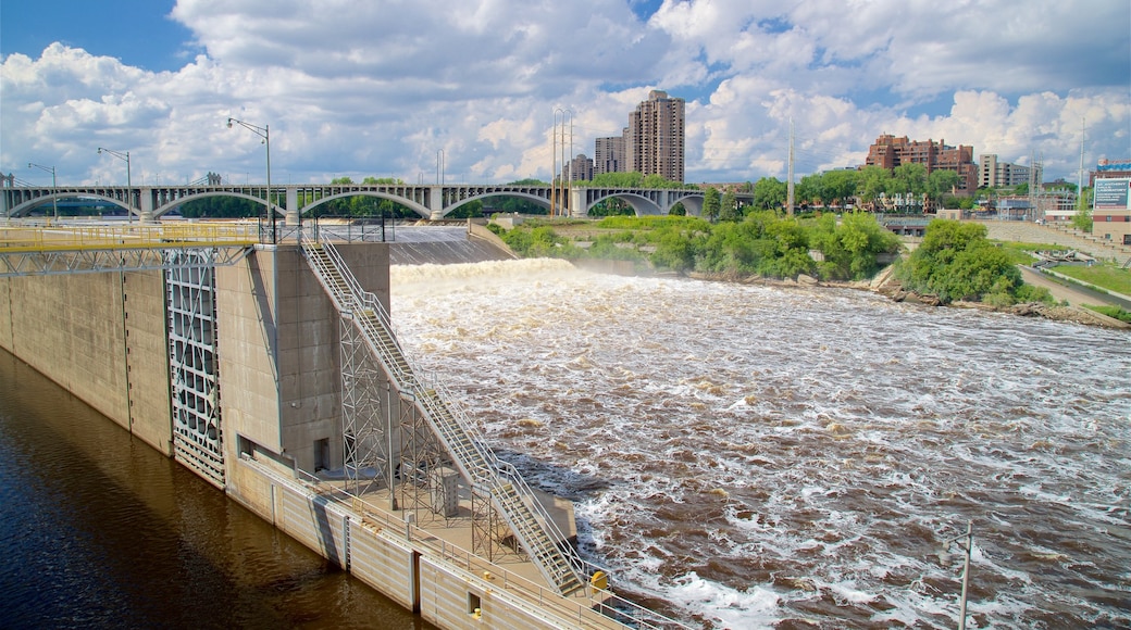
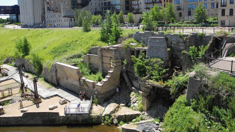
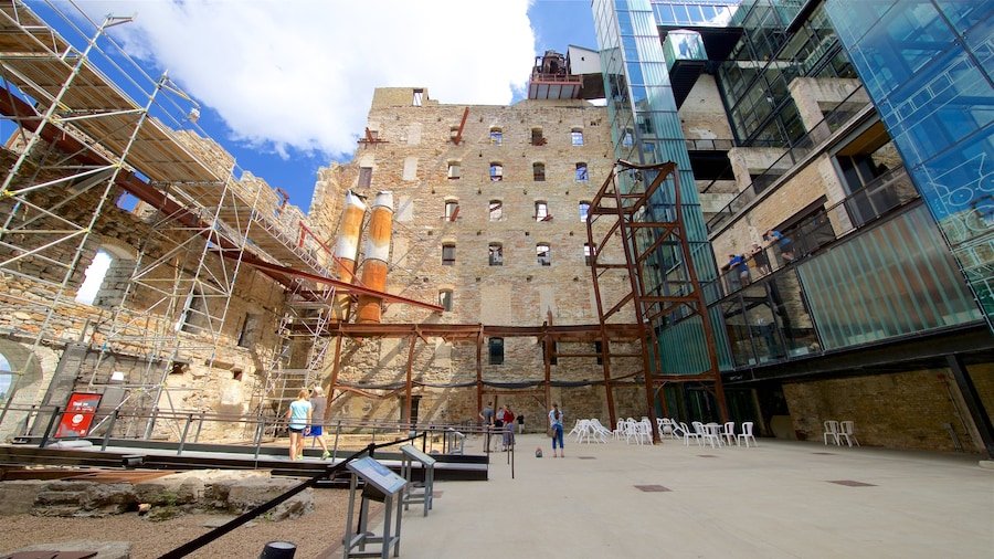
Explore the historical landmarks along the 1.8-mile (2.9-kilometer) interpretive trail. Informative signposts explain the role of the ruins and structures that you’ll come across along your walk. See the historic Stone Arch Bridge, as well as the Upper St. Anthony Falls Dam and the Lower St. Anthony Falls Dam. Stroll through the Mill District to see the spectacular ruins of the Washburn A. Mill, which now contains the Mill City Museum.
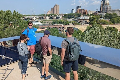
The best views of the falls can be seen from the Stone Arch Bridge and Water Power Park, which has a collection of waterfront walking trails and bike tracks.
St. Anthony Falls is the backbone of Minneapolis and is situated to the northeast of downtown. The historic district is easy to reach via the local bus system and the Grand Rounds National Scenic Byway. The falls and many of its surrounding attractions are free to visit at any time. While in the area, check out the Pillsbury Park, Father Hennepin Bluff Park, First Bridge Park and Boom Island Park.

