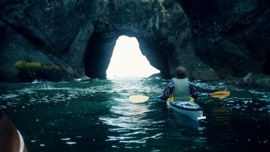
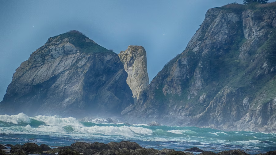
Cape Flattery was named by the explorer James Cook, who first entered these waters in 1778. Today, hikers, eco-tourists and holidaying families come to enjoy the incredible vistas from the contiguous United States’ most northwestern point and to experience the area’s rich marine, bird and plant life.
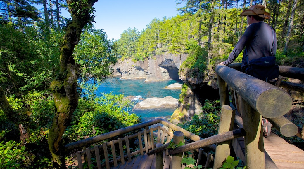
The groomed Cape Flattery Trail, which is just under a mile (1.2-kilometres) long, provides picturesque views. Make your way through a dense forest of tall Sitka spruce before emerging onto the blustery coast. Stop to enjoy rugged ocean vistas at the five perfectly positioned observation points that sit along an elevated cliff.
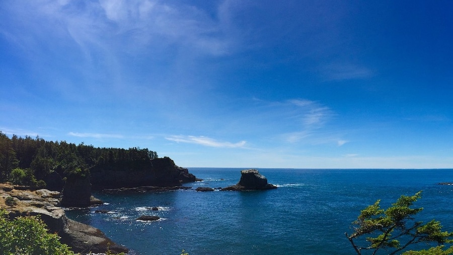
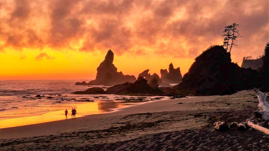
Breathe in the sea air and observe choppy waves swirling in the ocean below. Photography enthusiasts should bring a camera since this spot provides beautiful seascapes. Striking geological formations, including sea caves, sea stacks and contoured cliffs, dot the coast. Look for the imposing Fuca Pillar. This is a tall, rectangular rock formation named after the Greek sailor, Juan de Fuca, who explored these waters on behalf of Spain in the 16th century.
Tatoosh Island is also visible from the elevated cliffs. Bring binoculars to view the tall white lighthouse that rises from the isle and guides ships away from the dangerous rocks. The island was named after a Native American chief from the Makah Tribe the tribe still holds treaty rights to the land.
Climb to the Cape Flattery lookout platform for a great vantage point to see marine mammals below and seabirds overhead. Look for sea otters and sea lions swimming in the kelp beds. From March through May you might even get a glimpse of migratory grey whales that play and feed off this coast.
The Cape Flattery area is part of the Makah Nation. Purchase a recreational use permit to display on nonresident vehicles. These can be picked up at the nearby Makah shops or at the Makah Museum.


